
1
/
of
1
Navionics AF001R Africa East Regular Chart | 4Boats
Navionics AF001R Africa East Regular Chart | 4Boats
4Boats
Regular price
£151.49
Regular price
Sale price
£151.49
Unit price
/
per
Shipping calculated at checkout.
Couldn't load pickup availability
Description
Description
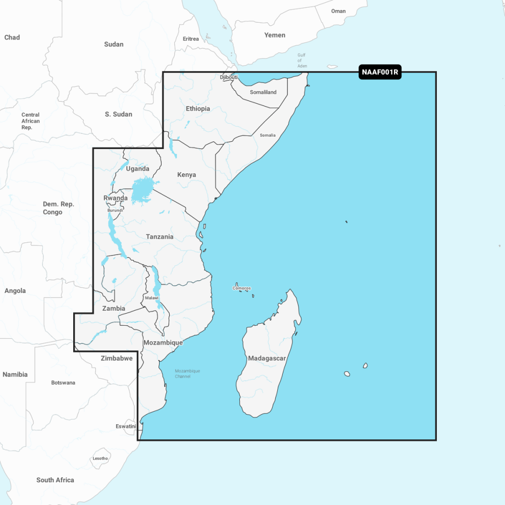
AF001R Africa East regular chart provides comprehensive nautical and bathymetric data for East Africa. A one-year subscription to Daily Updates and advanced features is included.
- Look and Feel: Familiar Navionics presentation for easy reading and navigation.
- Nautical Chart: Comprehensive charts derived from multiple official government and private sources.
- SonarChart: Innovative 0.5 m (1') bathymetric charts created using Navionics proprietary systems.
- Community Edits: Useful local knowledge from edits made by users of the Navionics Boating app.
- Daily Updates: Up to 5 000 updates to charts every day.
- Dock-to-dock Autorouting: Start your trip with a suggested route.
- Advanced Map Options: Customise your view.
- Plotter Sync: Plan on mobile and go on plotter.
Renewal is available annually at a discounted price; ideal for coastal cruising, fishing and professional navigation.