
1
/
of
1
Navionics AW010R Gulf & Red Sea Chart | 4Boats
Navionics AW010R Gulf & Red Sea Chart | 4Boats
4Boats
Regular price
£151.49
Regular price
Sale price
£151.49
Unit price
/
per
Shipping calculated at checkout.
Couldn't load pickup availability
Description
Description
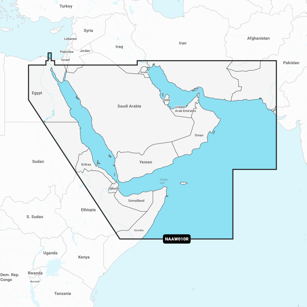
Navionics+ Regular Chart AW010R covers the Gulf and Red Sea with detailed nautical charts, SonarChart bathymetry and community-sourced updates for safe, informed navigation.
- The Navionics subscription: A one-year subscription to Daily Updates and advanced features is included when you purchase any new product; renewal available at a discounted price.
- Nautical Chart: Comprehensive charts derived from multiple official government and private sources, displayed in a familiar look and feel.
- SonarChart: Innovative 0.5 m (1') bathymetry charts created using Navionics proprietary systems.
- Community Edits: Useful local knowledge from edits made by users of the Navionics Boating app.
- Daily Updates: Up to 5,000 updates to our charts every day.
- Subscription advanced features: Dock-to-dock Autourouting - Start your trip with a suggested route; Advanced Map Options - customise your view; Plotter Sync - plan on mobile, go on plotter!
- Layout/CSS: justify-content: flex-start; display: flex; flex-direction: column; background-position: left top; background-size: cover; background-repeat: no-repeat; background-attachment: scroll; border-style: none; border-width: 1px; border-radius: 0px; margin: 0px 0px 10px; padding: 10px; margin: 0px.
Purchase AW010R for reliable Gulf & Red Sea coverage with a year of Daily Updates and premium Navionics features to improve route planning and on-water decision making.