
1
/
of
1
Navionics + EU074R | England South Coast Chart | 4Boats
Navionics + EU074R | England South Coast Chart | 4Boats
4Boats
Regular price
£151.49
Regular price
Sale price
£151.49
Unit price
/
per
Shipping calculated at checkout.
Couldn't load pickup availability
Description
Description
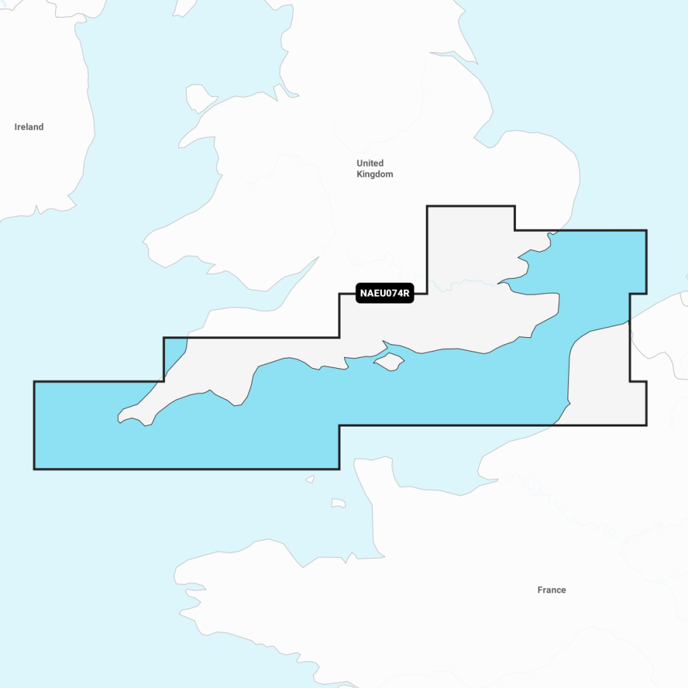
England South Coast chart EU074R, designed for coastal navigation and including a one-year subscription to Daily Updates and advanced features.
- Nautical Chart: comprehensive charts derived from multiple official government and private sources in a familiar look and feel.
- Navionics subscription: a one-year subscription to Daily Updates and advanced features is included with purchase.
- SonarChart: 0.5 m (1') bathymetry charts produced with Navionics proprietary systems.
- Community Edits: local knowledge contributed by users of the Navionics Boating app.
- Daily Updates: up to 5,000 updates to Navionics charts every day.
- Subscription advanced features: Dock-to-dock autorouting to suggest routes, Advanced Map Options to customise your view, and Plotter Sync to plan on mobile and sync to your plotter.
- Coverage: England South Coast (EU074R) - coastal waters, approaches and key harbours along the south coast.
Compatible with supported Navionics-enabled chartplotters. Plotter Sync allows planning on mobile and syncing to your plotter.