
1
/
of
1
Navionics EU628L Large Chart | UK, Ireland & Netherlands | 4Boats
Navionics EU628L Large Chart | UK, Ireland & Netherlands | 4Boats
4Boats
Regular price
£232.29
Regular price
Sale price
£232.29
Unit price
/
per
Shipping calculated at checkout.
Couldn't load pickup availability
Description
Description
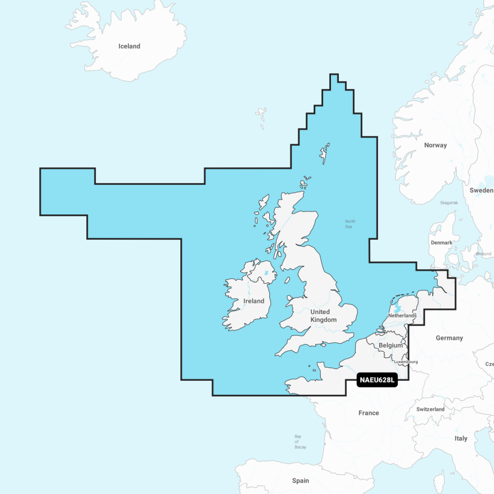
Navionics EU628L Large Chart covering the UK, Ireland and Netherlands - 1 ft (0.5 m) SonarChart bathymetry and comprehensive coastal charts for reliable navigation.
- Nautical Chart: comprehensive charts derived from multiple official government and private sources, displayed in a familiar look and feel.
- SonarChart: innovative 1 ft (0.5 m) bathymetry created using Navionics proprietary systems.
- Community Edits: useful local knowledge from edits made by users of the Navionics Boating app.
- Daily Updates: up to 5,000 updates to our charts every day.
- Navionics subscription: a one-year subscription to Daily Updates and advanced features is included.
- Dock-to-dock Autorouting: start your trip with a suggested route.
- Advanced Map Options: customise your view.
- Plotter Sync: plan on mobile, go on plotter.
Compatible with Navionics apps and plotters for reliable coastal planning and navigation across the region.