
1
/
of
1
Navionics Navigation Navigation Navigation Planner | PC route | 4Boats
Navionics Navigation Navigation Navigation Planner | PC route | 4Boats
4Boats
Regular price
£50.49
Regular price
£90.89 GBP
Sale price
£50.49
Unit price
/
per
Shipping calculated at checkout.
Couldn't load pickup availability
Description
Description
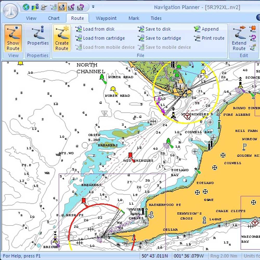
Navigation Planner for PC lets you plan routes and waypoints with Navionics charts, calculate tidal effects and transfer or back up data to your chartplotter.
- Supports Navionics SonarCharts and compatible with all chartplotters using Navionics data cards.
- Tidal route planning - calculates routes with tides and shows tide gain or loss per leg and for the complete route.
- Optimal route planning - calculates best departure times to take advantage of tidal streams.
- Route library shows multiple routes simultaneously with automatic colouring; displays heading and distance per leg and improves waypoint display with more fields and automatic text-overlap removal.
- Import/export and “copy to clipboard” for easy transfer to Excel or Word; transfer routes and waypoints to your plotter and keep PC backups.
- Navigation Planner+ accepts GPS input to show boat position; larger dialog buttons for easier use on touch-screen Windows 8 PCs and tablets.
- Layout specs: justify-content: flex-start; display: flex; flex-direction: column; background-position: left top; background-size: cover; background-repeat: no-repeat; background-attachment: scroll; border-style: none; border-width: 1px; border-radius: 0px; margin: 0px 0px 10px; padding: 10px; margin: 0px; padding: 0px.